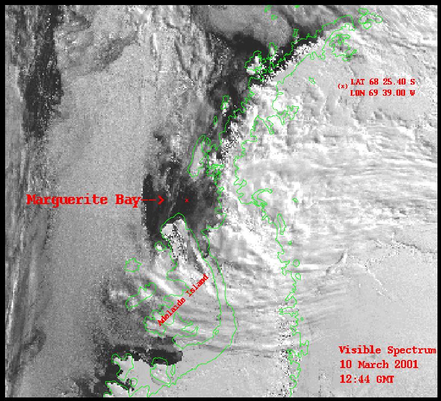
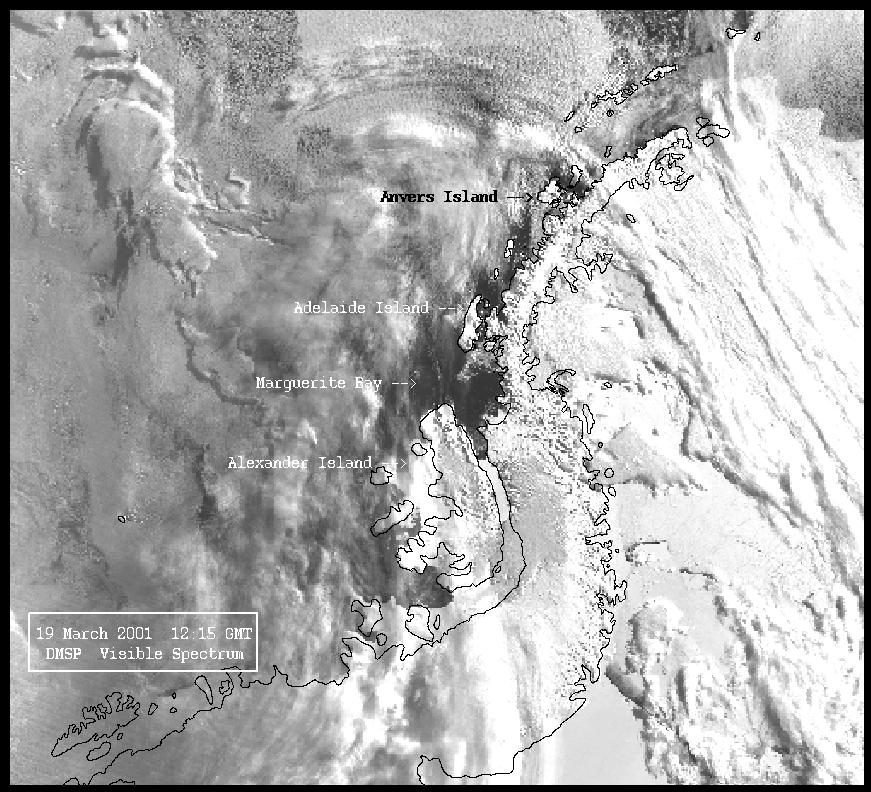
Marguerite
Bay ice coverage
(NOAA)
The following were provided by Alice Doyle, Raytheon Polar Services:
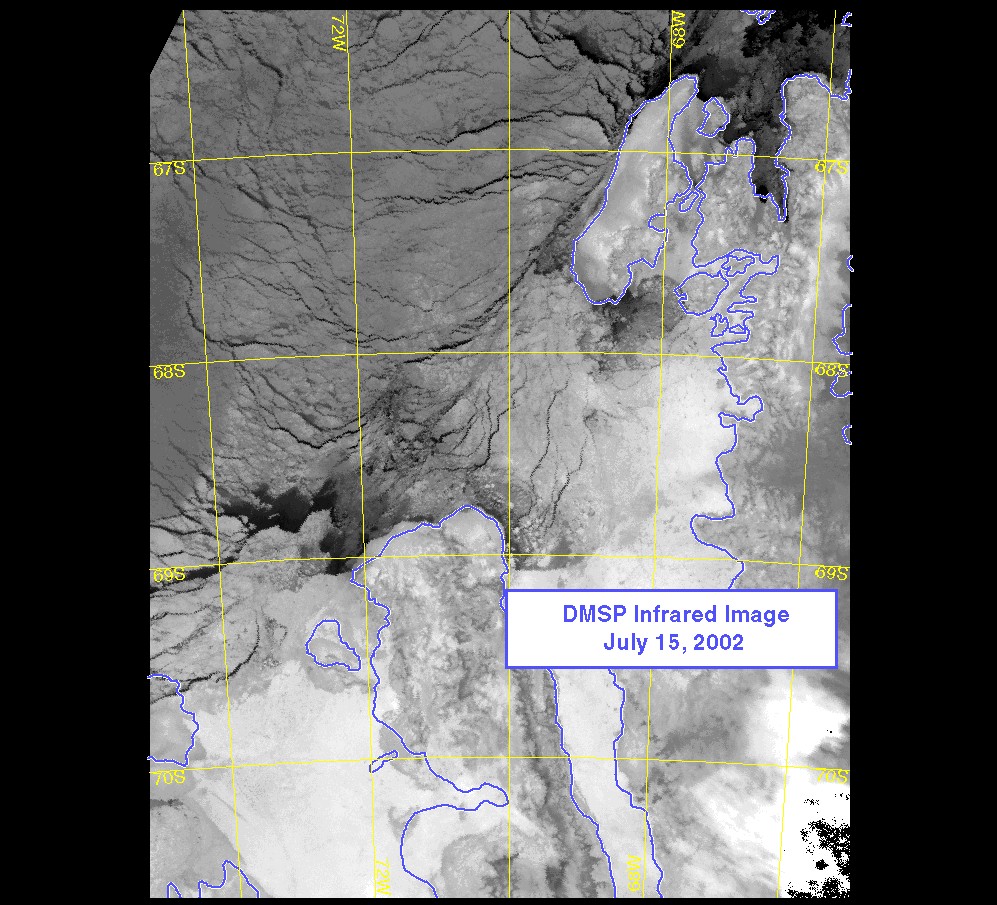
July 15, 2002
"Palmer Station is currently seeing very cold
temperatures (-50 with wind chill)."
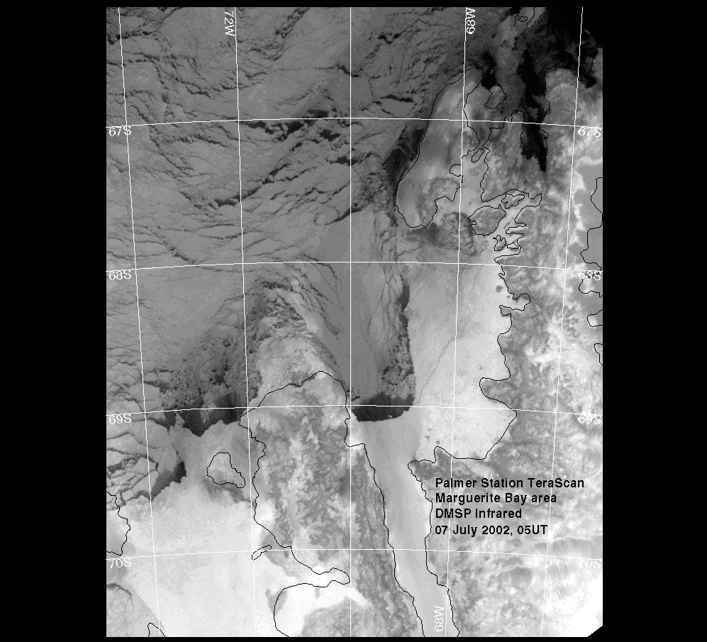
Palmer Station
TeraScan, July 7, 2002
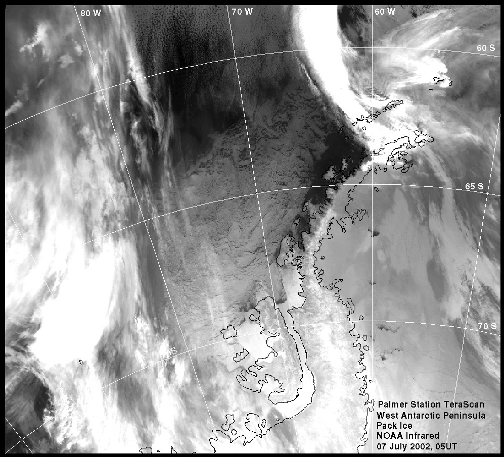
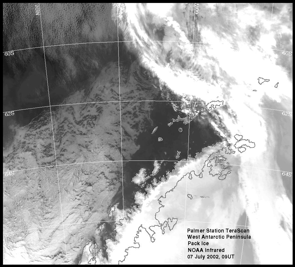
west Anatarctic
Peninsula pack ice, Palmer Station
TeraScan, July 7, 2002
Palmer Station
TeraScan, July 7, 2002
"Here's the last good look before the low clouds
started growing up here (literally), there, and everywhere, obscuring the
ice edge. Too bad, too, as the high clouds were moving to the NE so
nicely...
Not much change in your ice prospects, I think; still looks like 90-100
miles if you go the most direct way, and I'm still guessing that taking a
slightly more easterly approach, passing between 60S and 62S closer to 60W
than 63W would minimize your time in the ice. I'll be very interested to
hear coordinates of your entry into and exit from the ice, as well as what
type of ice it is and how it impacts your sailing." John Booth, Palmer Station
Science Technician
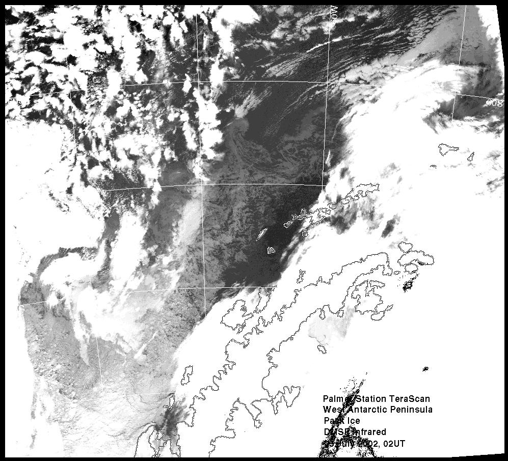
Palmer Station TeraScan, July 5, 2002
"This one's a bit ugly to look at, because in
order to 'pull up' the low contrast ice, the very cold high clouds had to be
way oversaturated. But though it's not lovely, it is informative, as it
shows pretty much all the ice that you'll be coming through if you come down
the standard inside route. Looks like our recent winds pushed the ice in
question, the stuff north of the South Shetlands, south just a bit, closer
to the islands, and maybe the 'belt' through which you'd go is shorter,
possibly because the whole pack was blown west a bit. I had it as >90 miles
of ice on 30 June, while this looks more like 70, at least at its shortest
spot. It's obviously a dynamic situation, so let's hope we get at least one
more clear look before you reach it, preferably RIGHT before you reach it.
If we don't, this image suggests taking a course a little further to the
east than you might otherwise, trying to hit the ice NNW of Livingston,
rather than NNW of Smith. No clue about ice in the Bransfield from this
one, so it's no help in choosing between a 'through the South Shetlands' and
an 'around the South Shetlands' approach. John Booth, Palmer Station
Science Technician
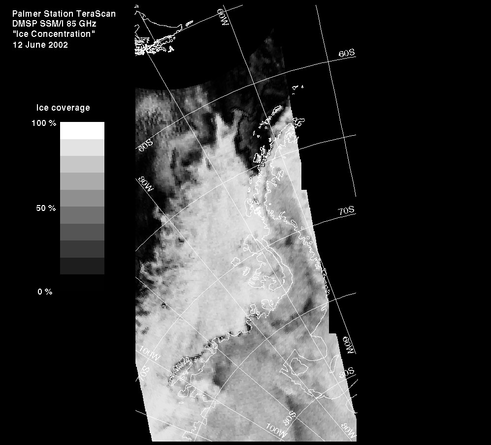
Palmer Station Tera Scan, June 12, 2002
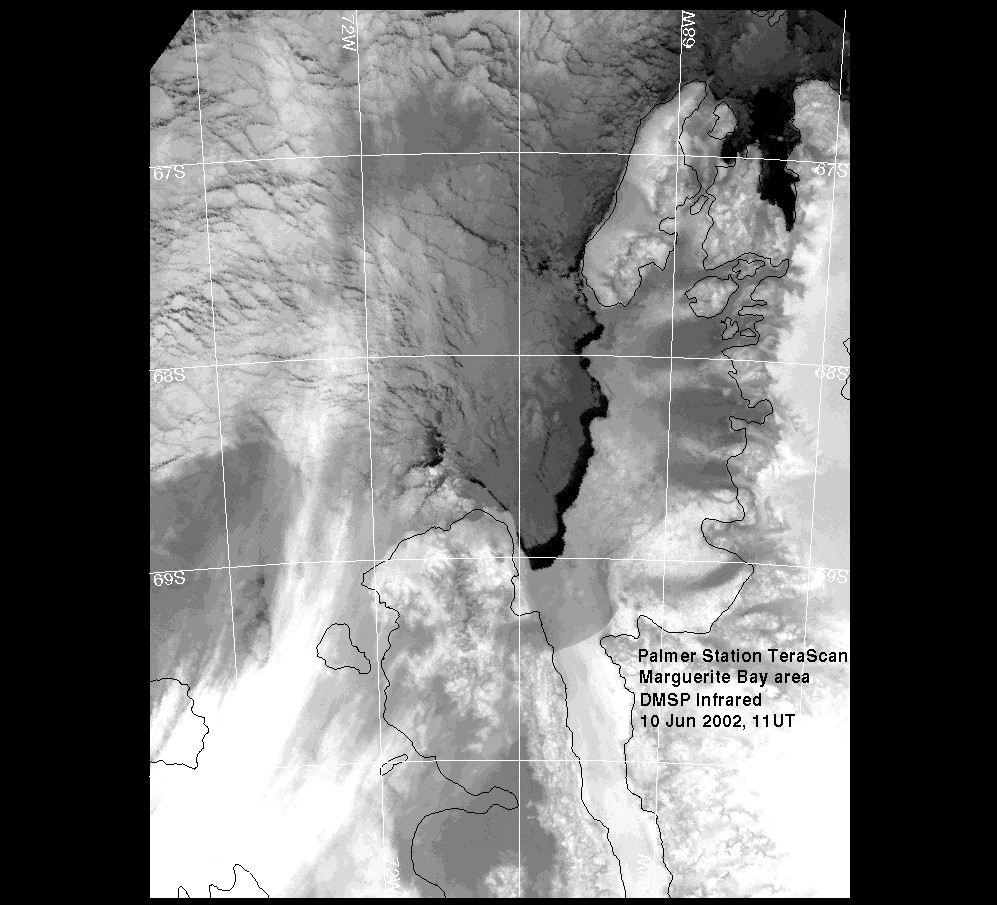
Marguerite Bay
region, June 10, 2002
"There's a bunch of low clouds casting a grayish
pall over much of the ice, but even so, you can see that the pack is more
consolidated, and you can see that the ice in the interior of the bay itself
has set up nicely as fast ice, with a well defined (and currently open
water) ice edge. That's what a few weeks of calm and -20C will do, I
guess. Last report from Rothera was 40 cm of ice. I've also tossed in the
latest microwave image, since it hasn't been clear enough to get another
remotely decent look at the edge in the IR." John Booth, Palmer Station
Science Technician
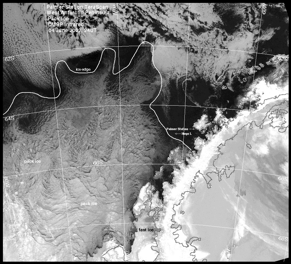
Marguerite Bay
region, June 4, 2002
Marguerite Bay
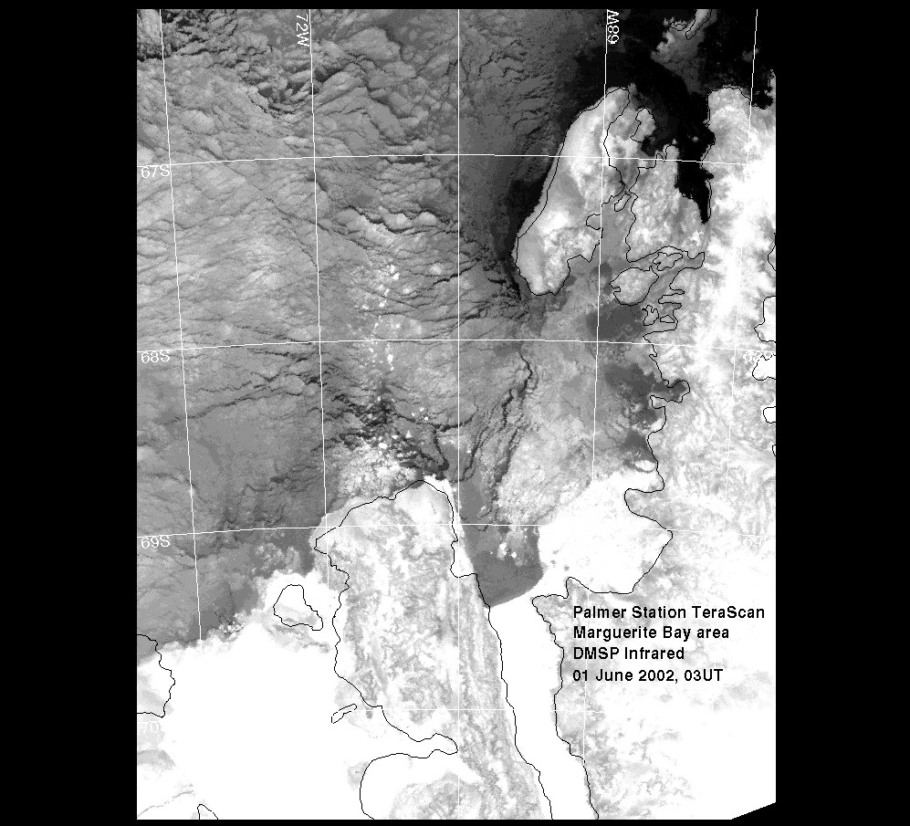
region, June 1, 2002
Marguerite Bay
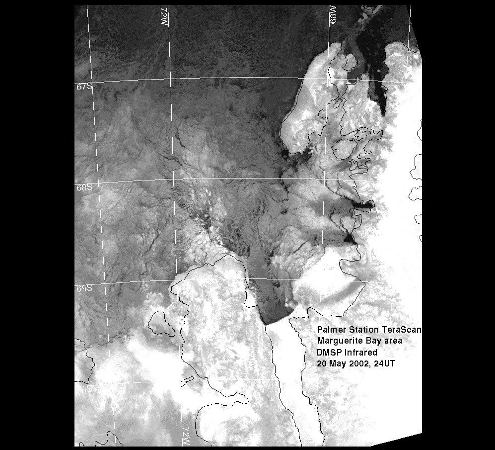
region, May 20, 2002
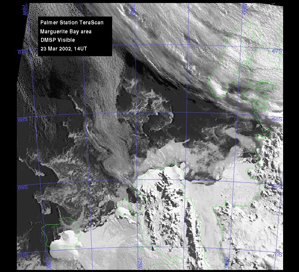
Marguerite Bay region, March 23, 2002
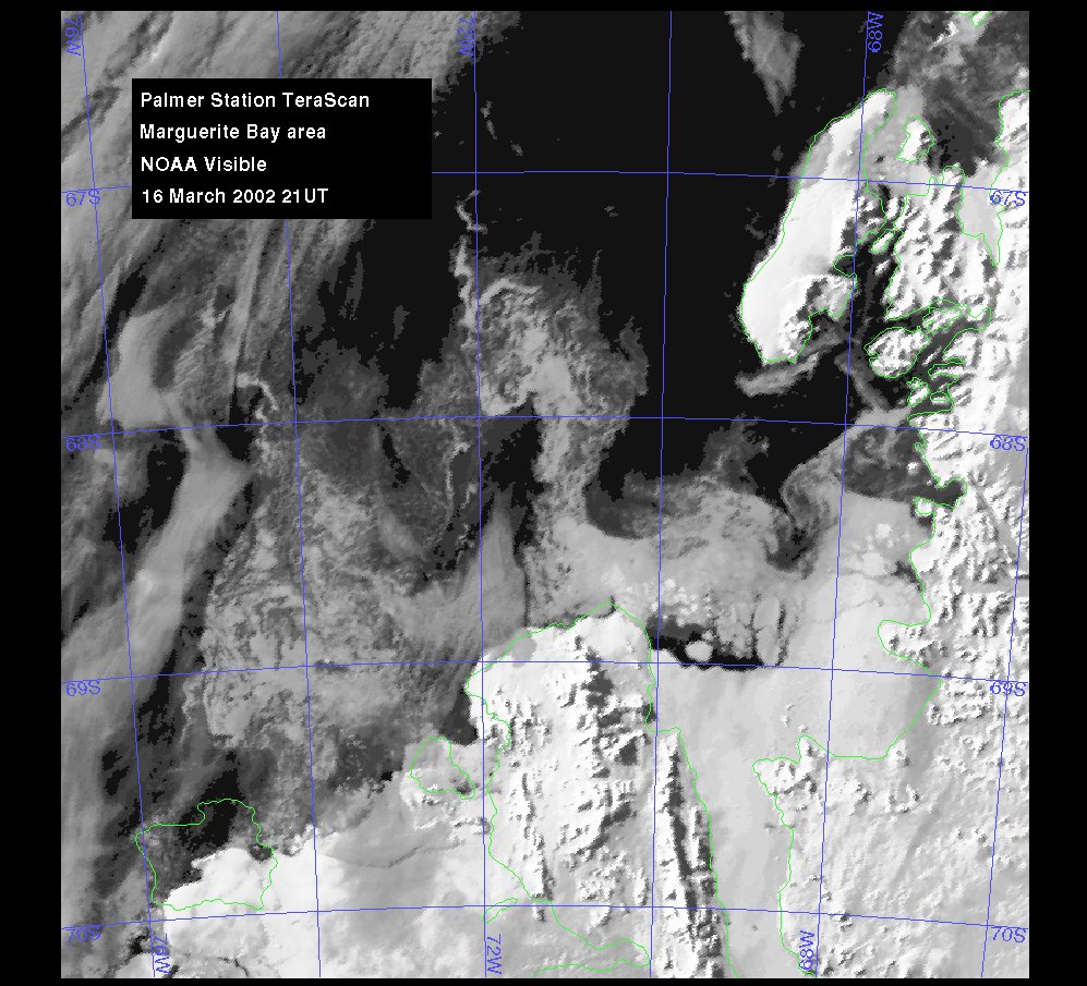
Marguerite Bay region, March 16, 2002
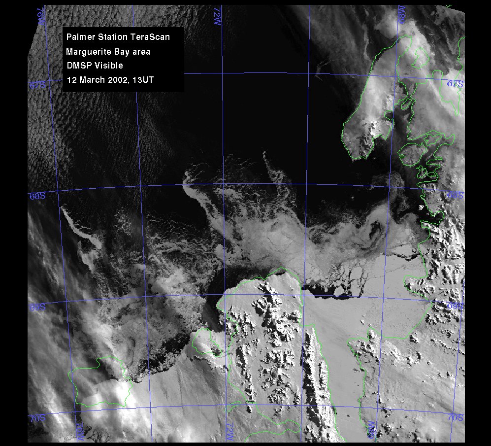
Marguerite Bay region, March 12, 2002
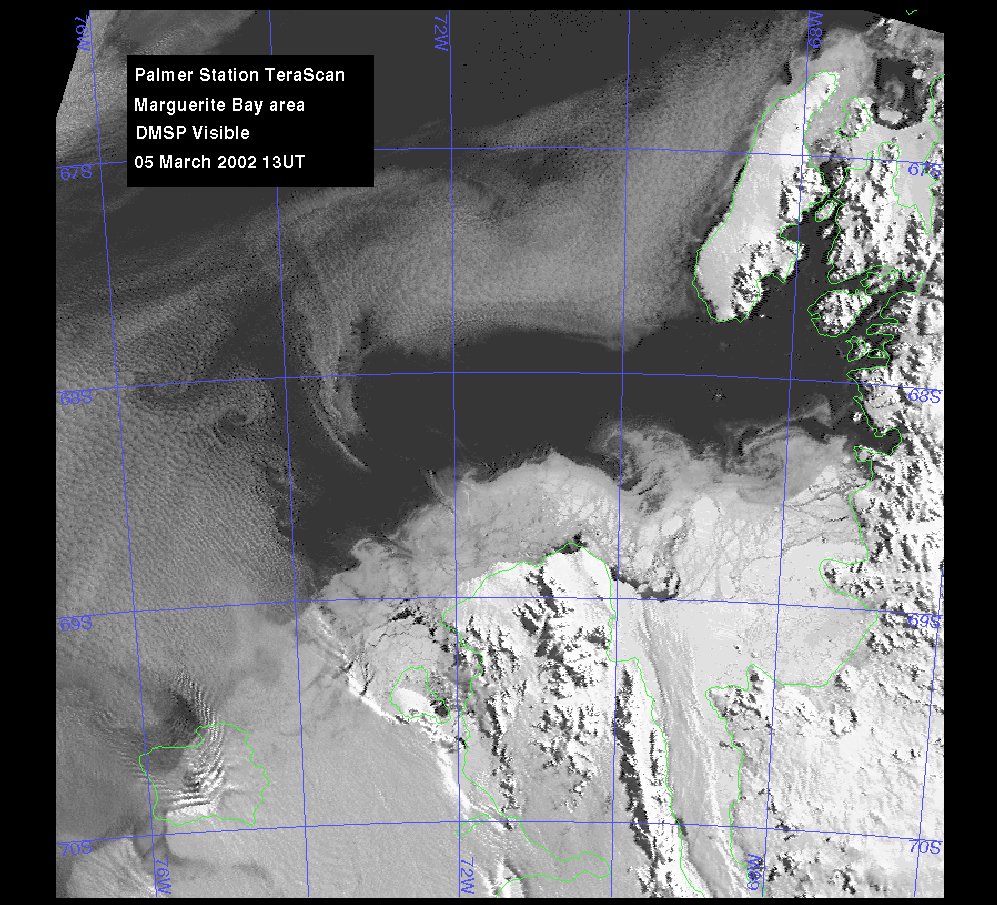
Marguerite Bay region, March 5, 2002
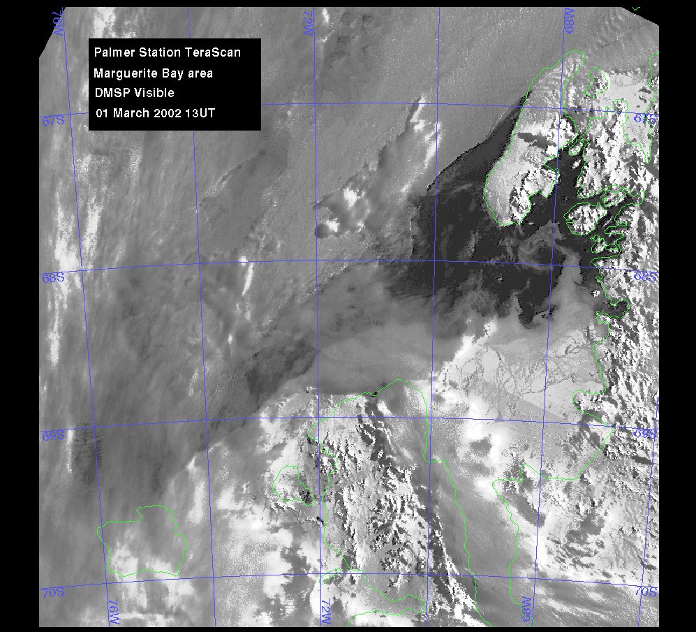
Marguerite Bay region, March 1, 2002
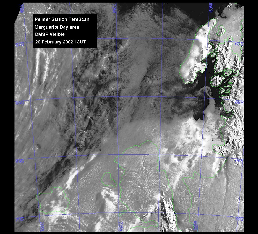
Marguerite Bay region, February 28, 2002
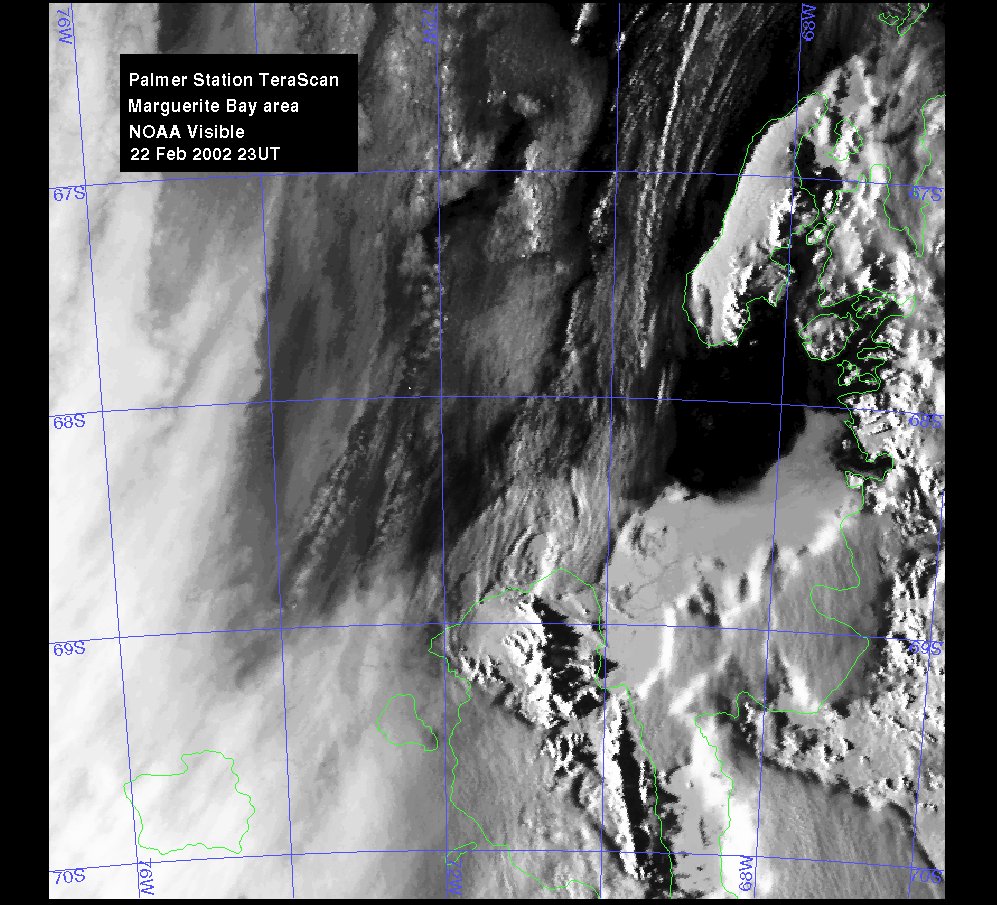
Marguerite Bay
region, February 22, 2002
"This does show the ice nicely to the east of
70°W, all the way to the Peninsula itself. Although clouds come
in west
of 70°W, you can still see the rough demarcation
of the ice through them. Not much has changed during your time there,
though perhaps that last blow has cleared away some of the looser stuff
and left just the hard core behind."
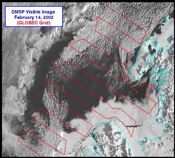
Marguerite Bay region from N.B. Palmer, February 14, 2002
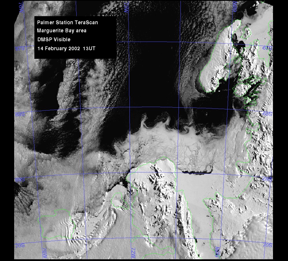
Marguerite
Bay region from Palmer Station TeraScan, February 14, 2002
The following was provided by Dr. Joey Comiso,
Goddard Space Flight Center: