Marguerite
Bay ice coverage
(NOAA)
The following were provided by Alice Doyle,
Raytheon Polar Services:
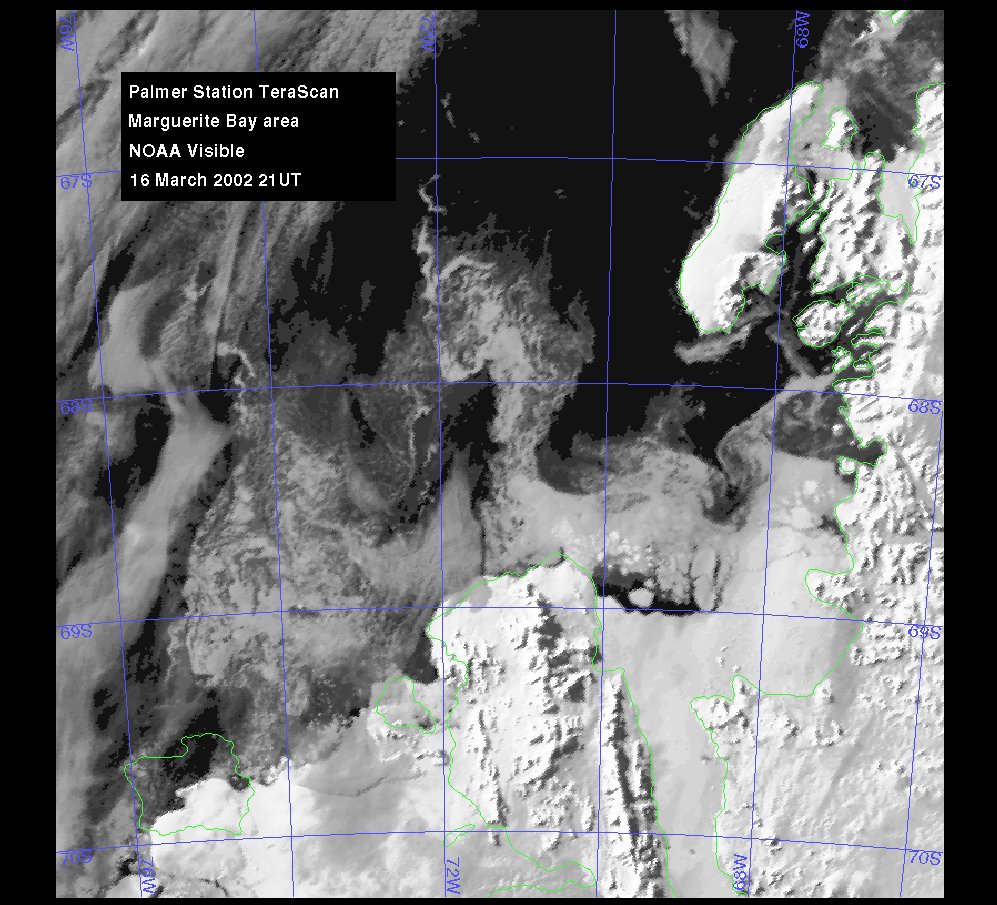
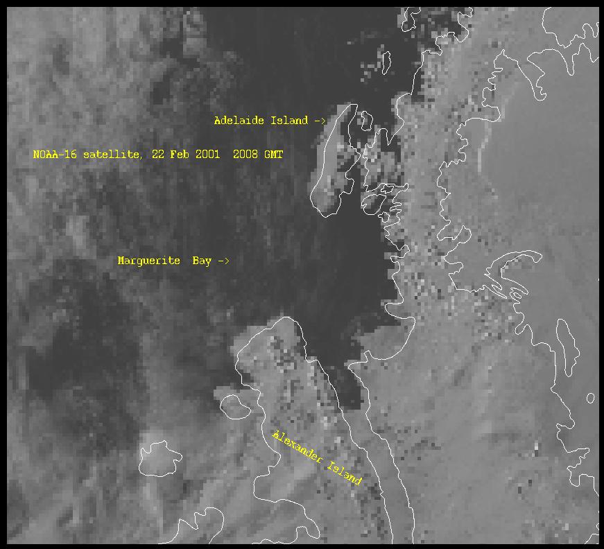
Marguerite Bay
region, March 16, 2002
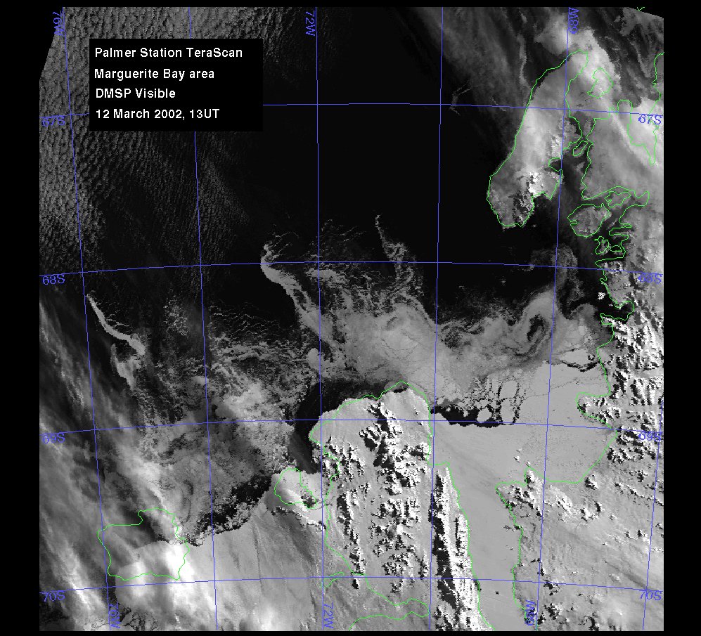
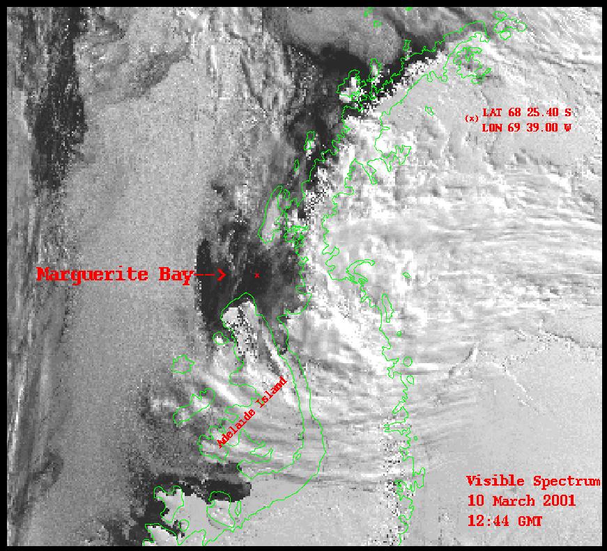
Marguerite Bay
region, March 12, 2002
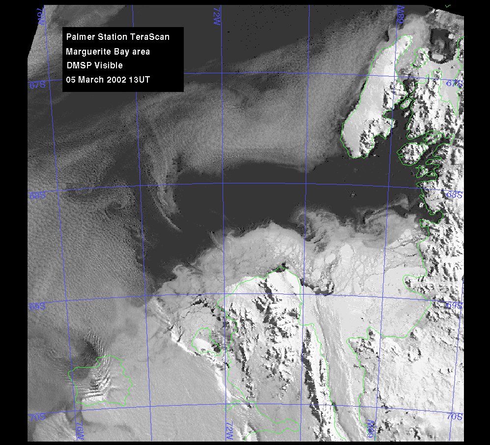
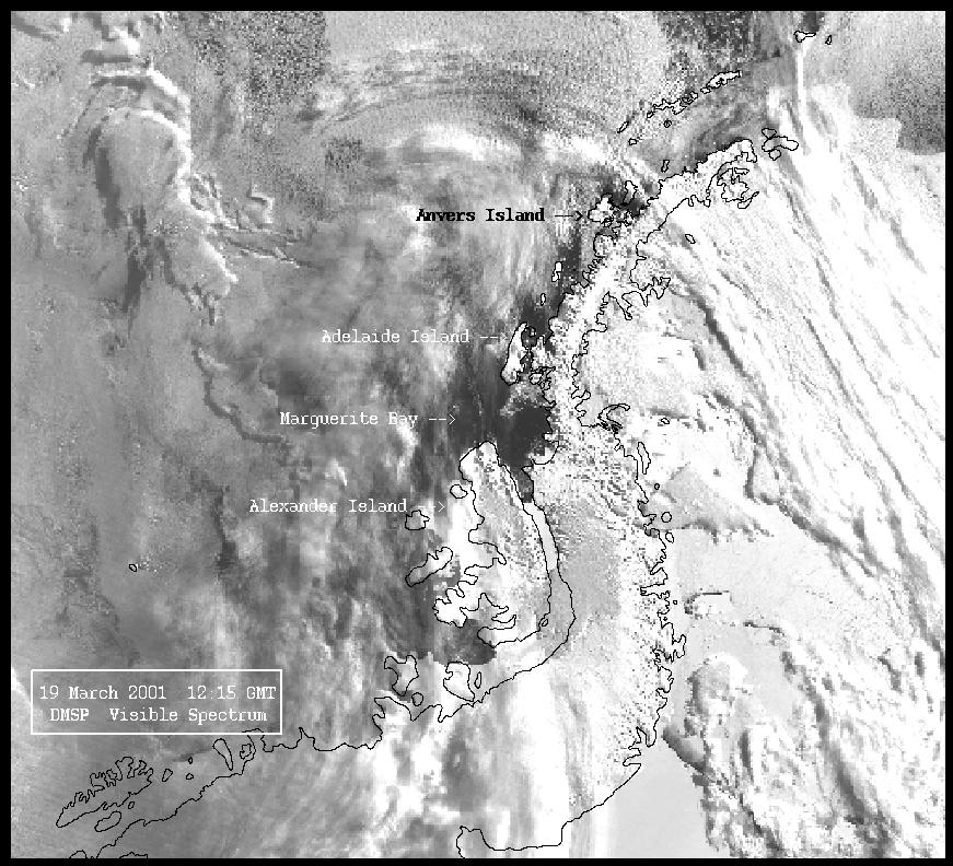
Marguerite Bay
region, March 5, 2002
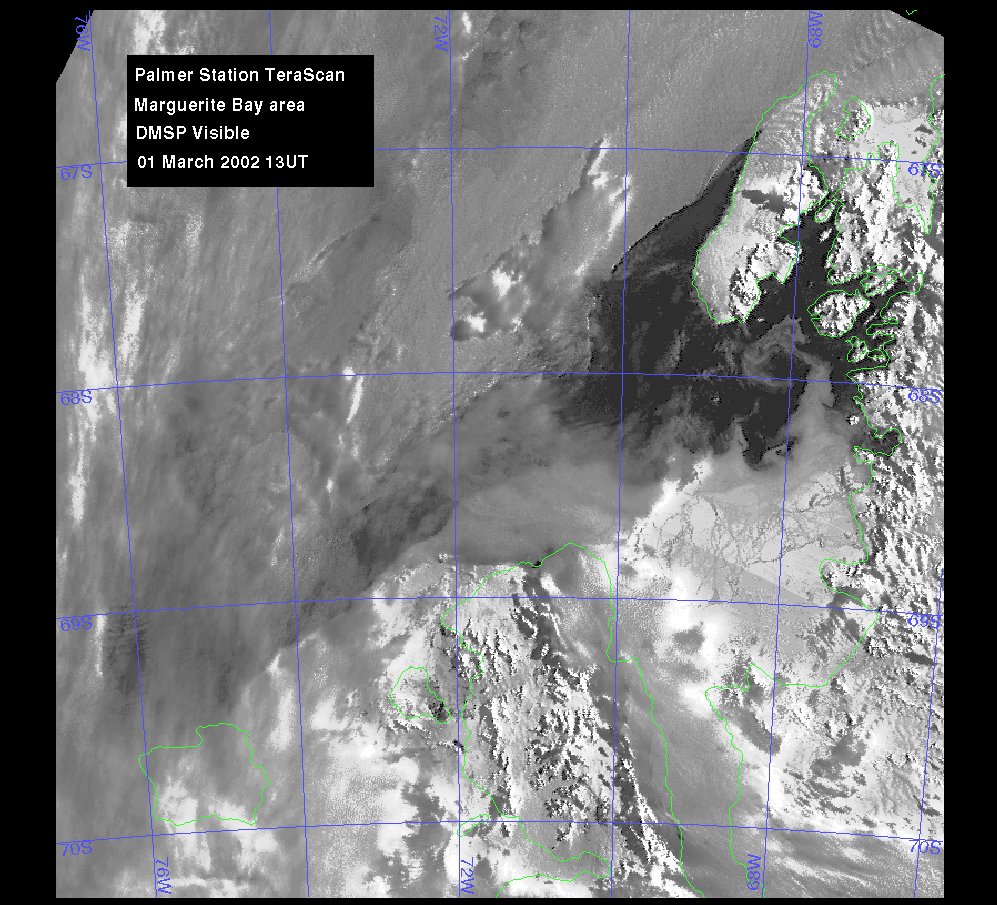
Marguerite Bay
region, March 1, 2002
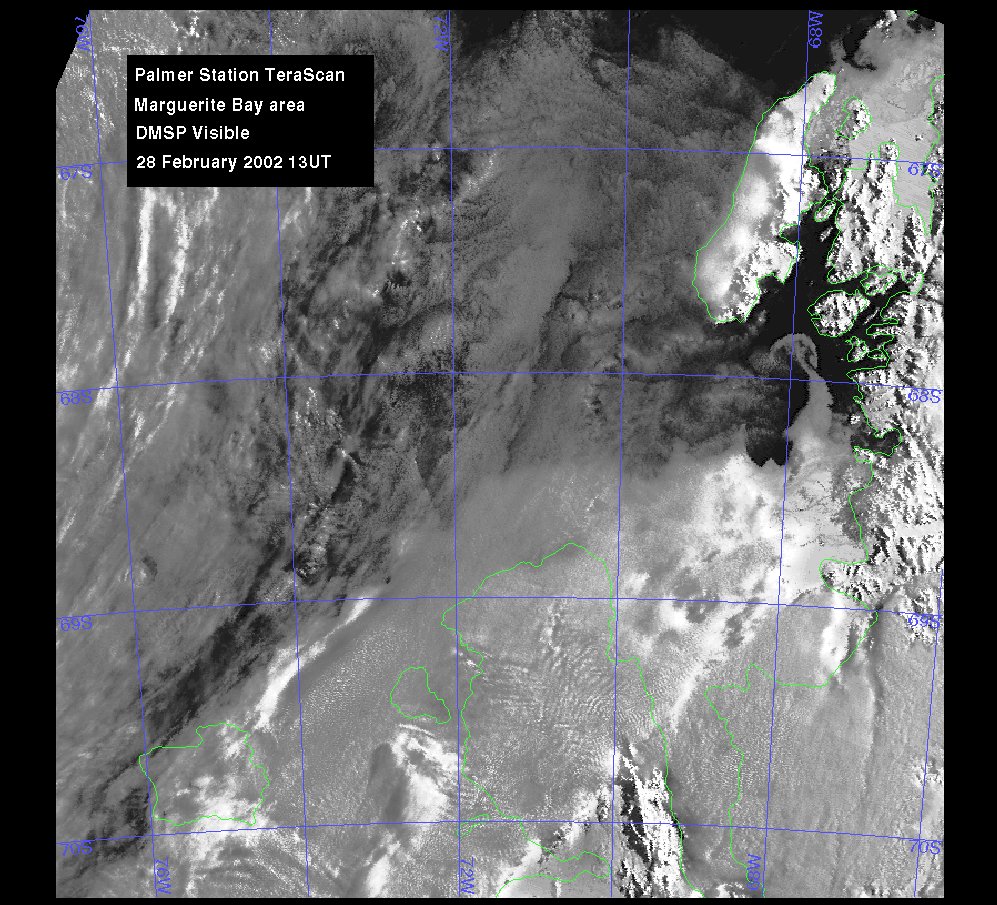
Marguerite Bay
region, February 28, 2002
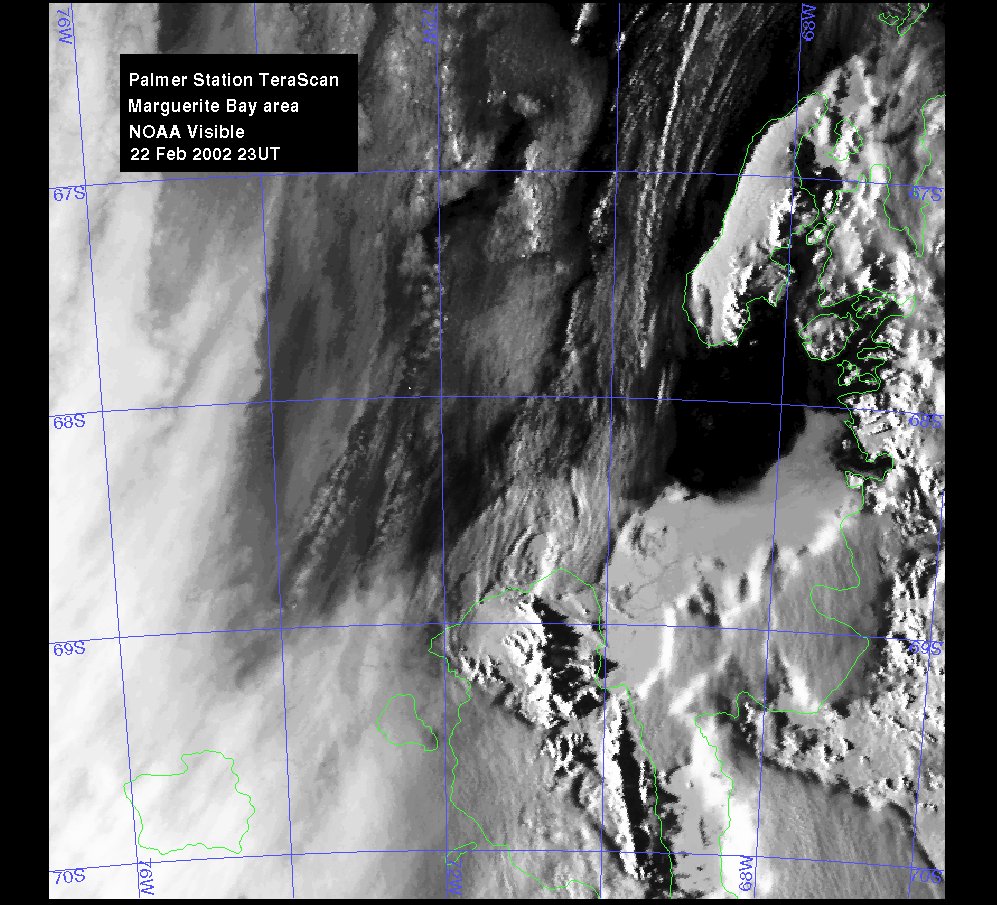
Marguerite Bay
region, February 22, 2002
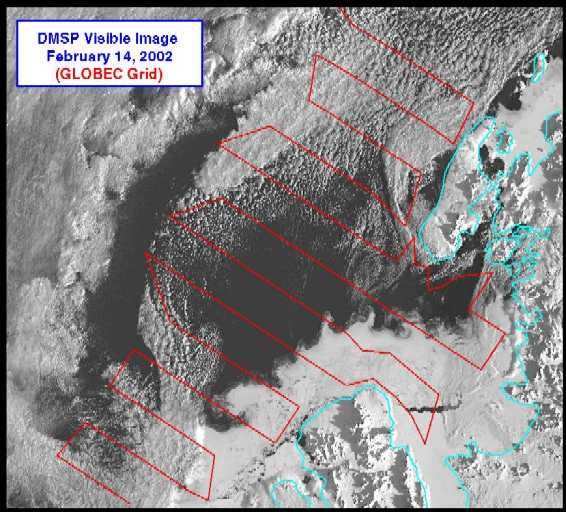
Marguerite Bay
region from N.B. Palmer, February 14, 2002
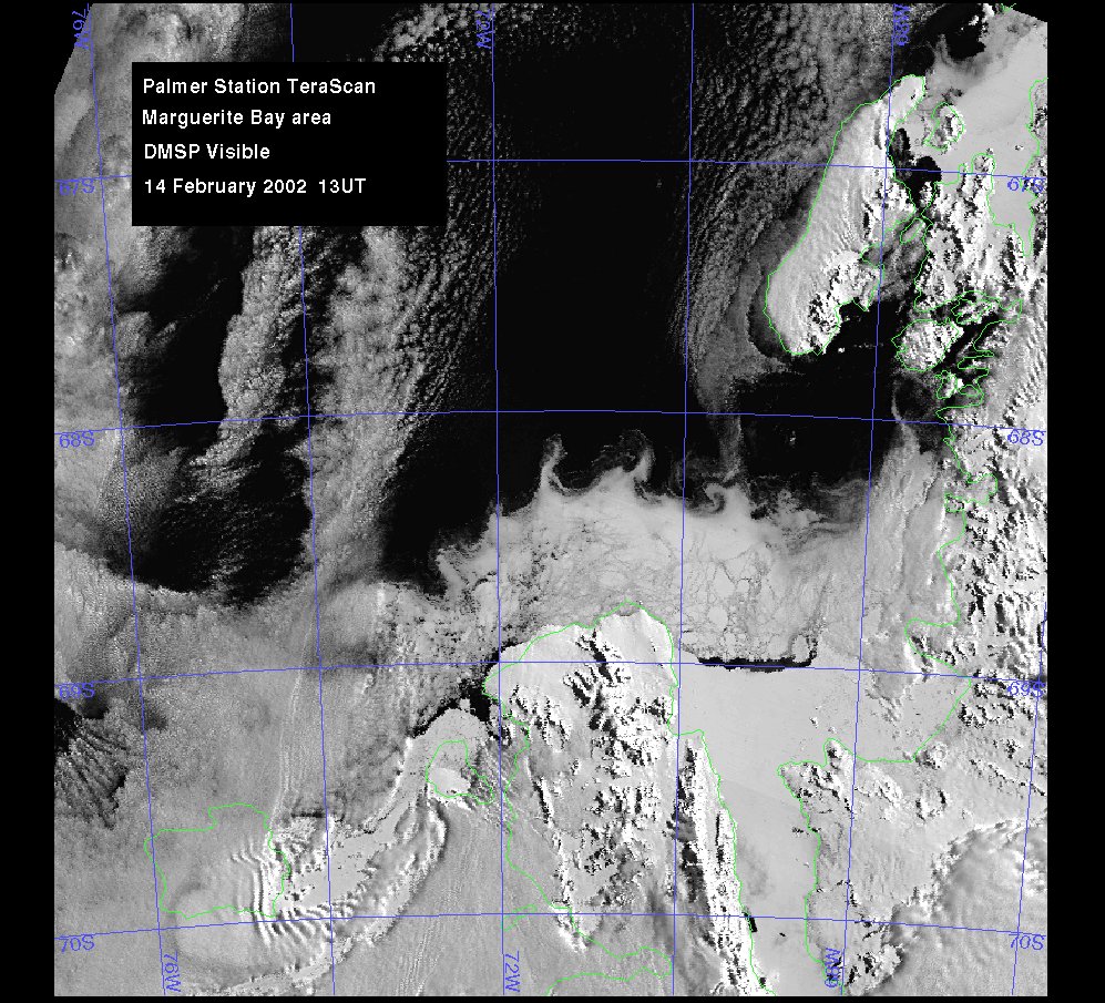
Marguerite
Bay region from Palmer Station TeraScan, February 14, 2002
The following was provided by Dr. Joey Comiso, Goddard Space Flight
Center:
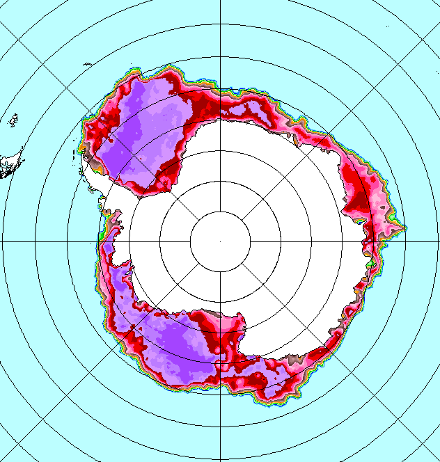
"This does show the ice nicely to the east of
70°W, all the way to the Peninsula itself. Although clouds come
in west
of 70°W, you can still see the rough demarcation
of the ice through them. Not much has changed during your time there,
though perhaps that last blow has cleared away some of the looser stuff
and left just the hard core behind."